
Freeze watch and 60-mph storms whip New York into first big cold snap
A freeze watch and severe thunderstorm risk send New York from near 80°F on Friday into the 50s and 30s this weekend, with gusts to 60 mph expected across the metro area.
The National Weather Service put parts of the Tri-State area under a freeze watch for Saturday night into Sunday morning as the first serious cold front of the season sweeps through New York. Temperatures that reached near 80°F on Thursday are forecast to tumble more than 20 degrees in 24 hours, with Saturday highs only in the mid-50s and overnight lows in the high 30s. Before that cooldown, a line of severe thunderstorms is expected Friday evening between about 6 and 9 p.m., with the western parts of the city facing the highest risk and gusts of 40 to 60 mph that could snap tree branches. NWS meteorologist John Murray called damaging winds the main threat. NYC Emergency Management urged residents to take precautions after dark. Sunday should turn sunny with highs in the upper 50s, and next week warms back into the mid-60s. Both Gothamist and ABC7 led coverage with the whiplash weather story on October 17.
More from this edition

New federal charges in FIT student's fentanyl-poisoning death
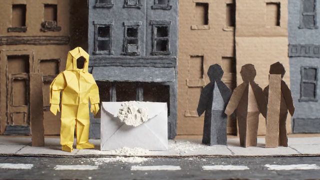
Suspicious powder at Rep. Ritchie Torres' Bronx office triggers hazmat response
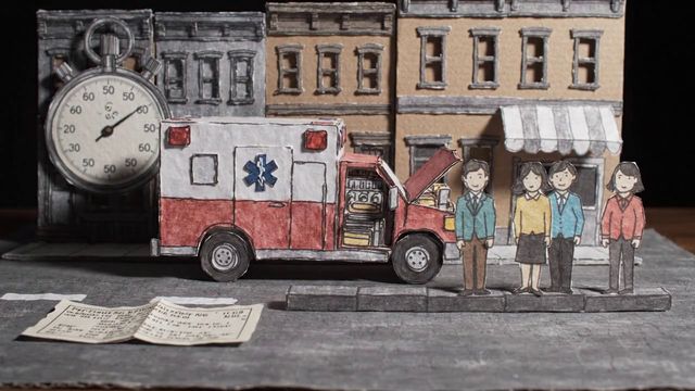
NYC ambulance response times grew 41% in a decade, comptroller warns

City Hall deal would end Central Park horse carriages after 168 years
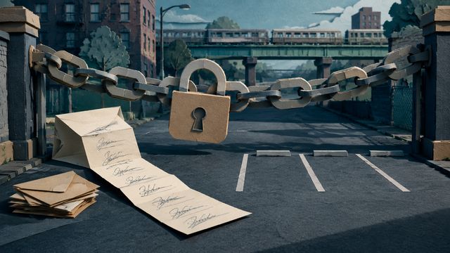
Mamdani and 100 officials ask NYC lot owners to lock ICE out

Federal judge throws out Trump administration's challenge to NYC sanctuary laws

$10 million Tompkins Square Park makeover clears first hurdle over 2,600-signature petition
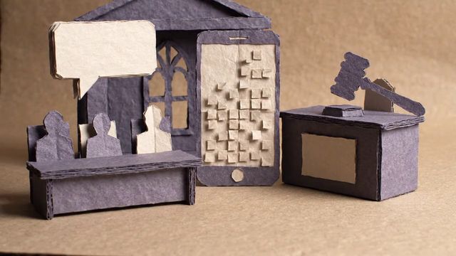
Speaker Menin confronts xAI at City Hall after Grok generates sexualized image of her