
Hackney Launches Interactive Map to Make Nights Out Safer
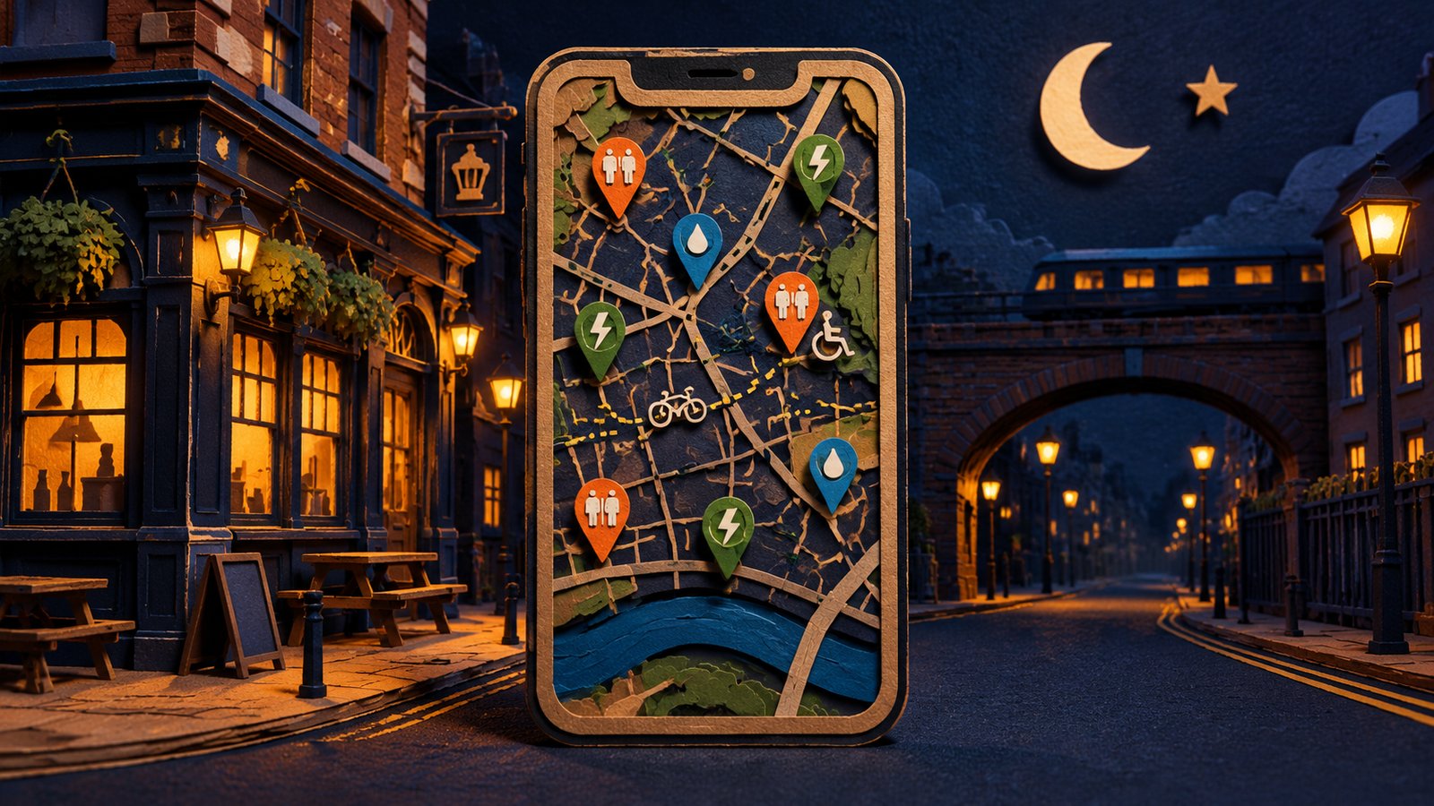
Hackney Council has launched a new digital night map allowing revellers to find toilets, drinking water, phone-charging points, wheelchair-accessible venues and safe routes home across east London.
Hackney Council has launched a new interactive digital safety map to help people navigate the borough after dark and stay safer on a night out. The map is accessible via QR codes displayed on posters in venue windows and on keyrings distributed around the borough, or through a direct link online. It shows the locations of nearby toilets, drinking-water points and phone-charging stations, and lets users check venue opening times and wheelchair accessibility. People can also enter their location to find live bus routes and cycling paths to help plan the journey home. Every venue featured on the map is council-accredited and meets standards designed to support safer, more inclusive nightlife. The map forms part of Hackney Council's wider Hackney Nights campaign, which launched in 2019 to keep people safe after dark while boosting the borough's night-time economy. The launch comes at a difficult time for local nightlife: record shop The BBE Store has started a fundraising campaign to fight a licence review, after receiving noise complaints from a nearby new residential building, while Hackney Wick pub The Lord Napier Star faces plans for a neighbouring block of flats that could cost it its late licence.
More from this edition

Oxford Street Becomes Traffic-Free for the First Time

Mayor Hails 'Largest Devolution of Powers in a Generation' After Budget

London Bus and Tram Fares Rise for First Time in Three Years

Camden High Street to be Permanently Pedestrianised

Angel Tube Station to Become Exit-Only at Weekends from Early 2027

City of London Welcomes Budget but Insists Bank Tax Rise Must End as Scheduled

Shakespeare's Head in Clerkenwell Named London's Best Pub for 2026

London Christmas Markets: Every Opening Date for 2026–27